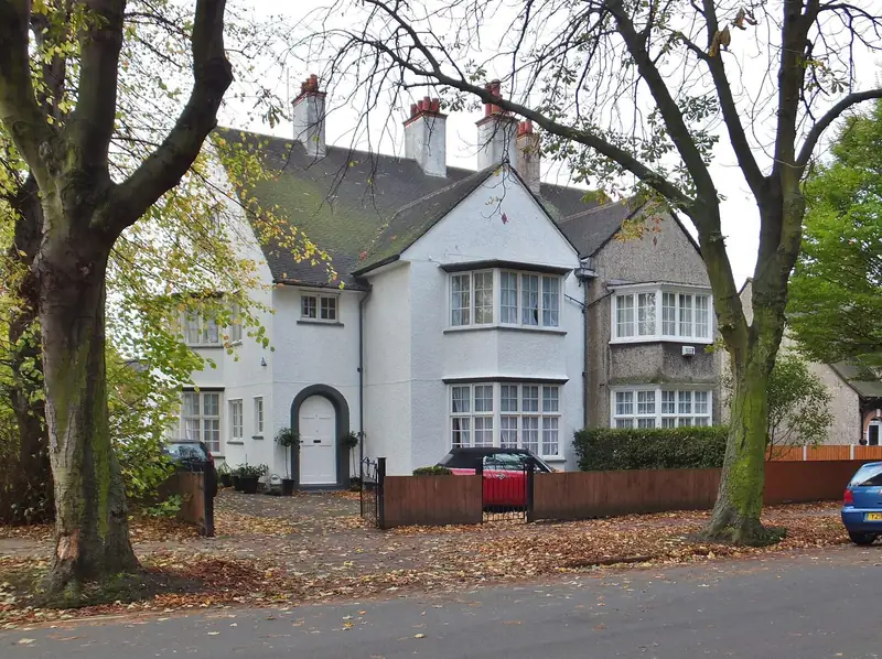
Inside Hull
Hull City Council's conservation-area list is the reason some of these pages are longer than others. The Avenues and Pearson Park, Garden Village, Newland, Newland Park, Sutton Village and the Holderness Road areas are on that list. Bransholme, Kingswood, Orchard Park and Bricknell are not named as conservation areas of their own. That is not a comment on whether a particular tree or listed building exists. It is what the published list says.
- The Avenues, including the streets around Pearson Park.
- Garden Village, with an Article 4 direction on hard surfaces and crossovers.
- Newland, including Newland Park and the university side of Cottingham Road.
- Bricknell, on the west side of the city.
- Sutton-on-Hull, the old village street at Church Street.
- Bransholme, the north-east estate.
- Kingswood, newer houses on the northern edge.
- East Hull, along Holderness Road. The address of this page stays /areas/holderness/ so older links still work.
- Orchard Park, north of the city centre.
Across the boundary
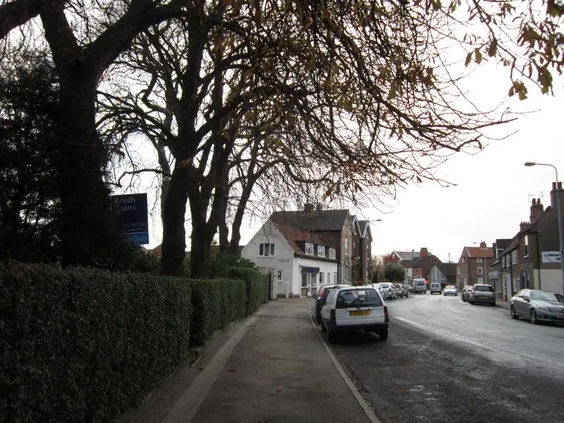
Hull's flood strategy names Cottingham, Willerby and Kirk Ella as higher ground to the west, with surface water draining toward the city. Hessle is the town at the north end of the Humber Bridge. All four places except Kirk Ella have a page. Kirk Ella is mentioned from Willerby because the flood strategy pairs them, and it does not have a separate URL on this site.
Anlaby is not given a page. It was not on the previous site map, and the twelve pages above already cover the URLs that were live. If a house there is in the East Riding, East Riding's rules apply; if it is inside Hull, the city's do. The council boundary, not a marketing map, decides.
Each area page ends with a button that loads a Google map only after you press it, and with the same quote form as the rest of the site.
Sources: Hull City Council conservation areas; Hull City Council local flood risk management strategy.