The bridge pictures, and what they are not
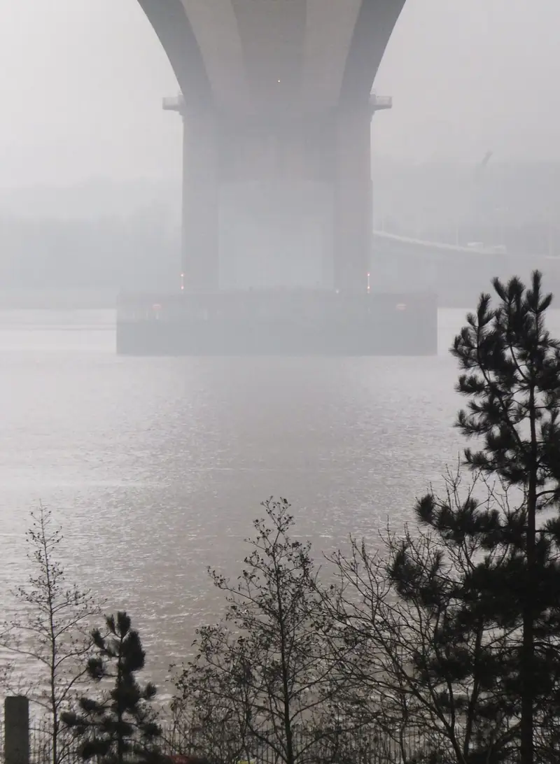
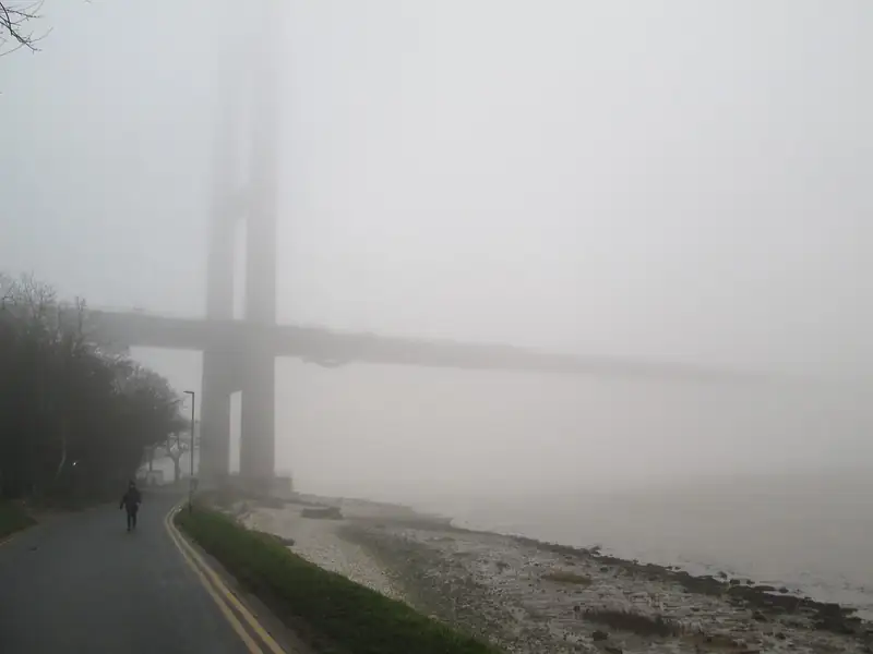
Bernard Sharp's photograph looks toward the Humber Bridge from the Hessle side. Martin Dawes's photograph shows the same bridge in fog from the Hessle foreshore. Both are credited under the images. The bridge operator's site is humberbridge.co.uk. The pictures fix the town: Hessle is the north bank landing, on the Yorkshire side, with the estuary immediately south of the older streets and the foreshore.
They are not pictures of a resin drive, a block drive, or any job arranged through this website. If your house is on a residential street north of the bridge approach, say the street. A professional who thinks the job is "near the bridge" has not been briefed.
Hessle Road in west Hull is a different place. Hull's conservation-area list includes an area called Hessle Road. That is a Hull street, inside the city, and it is not this town. A search for "Hessle driveway" should land here only if you mean the East Riding town. If you mean the Hull road, you are in Hull City Council's area and this page's council advice is the wrong one.
East Riding, not the city pack
Hull City Council's June 2025 dropped-kerb pack is written for crossings inside Hull. It does not govern a footway in Hessle. East Riding of Yorkshire Council's road and footpath maintenance page says, in its own words, that having a dropped kerb installed for vehicular access to your property may need planning permission, and it tells you to read the planning section.
East Riding also offers ways to check whether permission is needed, including a householder planning-help service and a lawful-development certificate. Those services have charges. The charges are not a price for a kerb and they are not reprinted on this website, because they are easy to confuse with a job cost and because they can change. Use the council page for the current process.
The national front-garden rule still applies in England. The Planning Portal explains that, since 1 October 2008, more than five square metres of impermeable paving that drains toward the road can need permission. East Riding's "may need planning permission" sentence for the kerb is additional to that, not a replacement. The planning guide on this site is written around Hull's pack. Read it for the national test, then use East Riding's own pages for the crossing. The dropped kerbs page says the same split in shorter form.
This site has not found an East Riding conservation-area name to attach to a particular Hessle street in the sources used here. East Riding publishes its own conservation-area information. Do not import Hull's list. The Avenues Article 4, the Garden Village hard-surface direction and the Sutton Village boundary are Hull instruments. They stop at the city boundary.
Estuary ground, stated carefully
A British Geological Survey report on the Hull area, IR/02/080, archived by NERC, describes Quaternary deposits under much of Hull: alluvium, glaciofluvial sand and gravel, and diamicton till, with tidal-flat clay, silt and sand around the Humber, and Upper Cretaceous chalk beneath. Hessle is on the estuary side of that story. The foreshore photograph is tidal ground. A house on higher streets away from the bank is not the foreshore. The BGS Geology Viewer, opened on the house, is the check. This page will not name a formation for a street it has not queried.
Hull's local flood strategy says the city is predominantly reclaimed marshland, and it names Cottingham, Willerby and Kirk Ella as higher ground to the west. It does not put Hessle in that higher-ground list. This page will not move Hessle into that sentence. Flood zones along an estuary change by street and by the flood-map update. Use the flood map for planning for the address. A driveway specification is not a flood defence.
What the ground does change is the base. Tidal silts and soft spots punish a thin overlay. A quote should say the assumed dig depth and what happens if the formation is unsuitable. If the house is clearly on firmer ground away from the bank, the assumption can be different. The viewer and a site visit decide. A paragraph on a website does not.
Street types in the town
Hessle has older streets near the centre, later estates, and houses that look toward the bridge. Older fronts can be short. Later drives are often already wide enough for two cars and need a surface replacement rather than a new opening. Say which. A replacement behind an existing crossing is mostly a private job. A new opening onto the public footway is the East Riding process above.
Block paving suits an irregular front and can be lifted for services. Asphalt suits a simple run and is a common specification for the public crossing itself, which should be a separate line from the garden. Resin-bound stone needs a stable base and a clear statement of whether the system is permeable. Gravel needs edging so it does not reach the footway, especially on a hill that rolls stones downhill. The comparison guide is material advice, not a Hessle price list. There is no price list on this site.
Willerby and Cottingham are the other East Riding pages. Anlaby is mentioned on the areas index and does not have its own URL. Kirk Ella is mentioned from Willerby because the flood strategy names it, and it has no page here.
Writing the request
Say Hessle, the street, and East Riding. Say whether the Humber is at the bottom of the garden or several streets away, because that changes the ground conversation. Say if a crossing exists. Local professionals may contact you if you submit the form. Hull Driveways does not install the drive. Professionals who respond are not employed here.
Questions about Hessle
Can I use Hull City Council's dropped-kerb form?
Not for a house in Hessle. That form is the city's. East Riding's pages are the ones to follow. If you live on Hessle Road inside Hull, you have the opposite problem: you need the city, and this page is the wrong town.
Does the bridge company approve drives?
No. humberbridge.co.uk is the bridge operator. A domestic crossing is a council matter. The photographs are only there to show the landmark.
Will you tell me my flood zone?
No. The government flood map is the place to check an address. This page refuses to invent one from a foreshore picture.
Sources: Humber Bridge; East Riding road and footpath maintenance; East Riding, find out if you need planning permission; BGS Geology Viewer; BGS report IR/02/080 via NERC; Flood map for planning; Planning Portal, paving a front garden.