The streets the photographs show
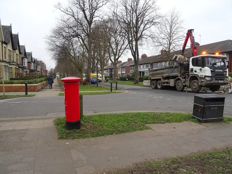
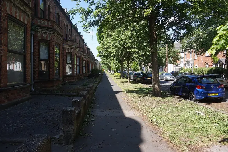
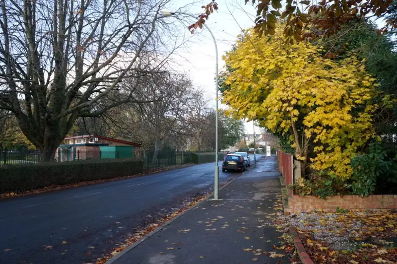
Westbourne Avenue runs through the heart of the grid. The Geograph photograph at the top shows the avenue of trees and the houses set back behind small front gardens. Marlborough Avenue, in the second photograph, is the same kind of street: a footway, a line of trees, and fronts that were laid out together rather than plot by plot. Pearson Park, in the third, is the open space the conservation area is named with. None of these pictures is a completed driveway, and none was taken for this website. They are Ian S and JThomas's photographs, credited under the images.
People here usually want a parking space in a front garden that was designed as a garden. The opening in a boundary, the tree outside the gate, and the width of what is left for a car are the real brief. A wide block court that ignores the street trees is the thing the conservation rules are written to slow down.
What the council has published
Hull City Council's list of conservation areas includes "Avenues and Pearson Park". The same list's Article 4 notes say that direction covers, among other things, cross-overs and hard-standing areas. Separately, the June 2025 dropped-kerb information pack says planning permission is required if a crossing is in the Avenues/Hymers conservation area. The pack and the conservation-area list use slightly different labels. Use the maps in those documents, not a guess from a house number, to see whether a particular gate is inside the area.
Planning permission, where it applies, sits on top of the ordinary city rule: you still need the council's approval to cross the footway, and only an approved contractor may build that crossing. The dropped kerbs page follows the council's public page. Where the pack says permission is required, it also tells you to speak to a planning officer about turning space, and it gives minimum dimensions of 10.3 metres by 7.3 metres. Many Avenues front gardens are shorter than that. That is a reason to ask the council before a firm prices a new opening, not a reason to assume every existing drive was built to that figure.
Trees before tarmac
The avenues are planted. GOV.UK's guidance on trees in conservation areas says you must notify the planning authority before cutting, lopping or uprooting many trees in a conservation area, so the council can consider a tree preservation order. A drive that needs a root to be severed, or a crown to be lifted so a van can pass, is in that process. Some trees will already have an order. The notification period is not a formality this website can waive, and a quote that says "we'll just trim it on the day" has not read the guidance.
Roots also change the base. A professional should say whether the excavation stops short of a major root and how the edge of the drive is held if the tree pit stays open. That sentence belongs on the quote.
Surfaces that respect a front garden
A short garden with a path to a front door rarely wants a single material wall to wall. Blocks can follow an odd shape and can be lifted if a root or a drain has to be reached later. A sealed asphalt sheet is harder to blend with a planted border. Resin-bound stone can look neat and can also look like a modern insert in a street of older houses, which is a planning question here rather than only a taste question. Gravel spills onto the footway unless the entrance is a bound apron. The comparison guide is the longer version. It does not name a winner for Westbourne Avenue.
Ground
The city-wide geological picture is till, alluvium and tidal deposits over chalk, and it varies. The Avenues are not the Humber foreshore. Open the BGS Geology Viewer on the avenue itself before anyone specifies a base depth from a Hull average. Clay or till still means the formation should be seen, not assumed.
Hymers, and the edge of the grid
The June 2025 pack pairs "Avenues/Hymers" as the conservation-area case where planning permission is required for a crossing. Hymers is the southern edge of this same designation conversation, not a second town. If your frontage is nearer Hymers than Westbourne Avenue, still use the council map. The pack's label and the conservation-area list's label do not always use the same words, which is why the map wins over a street name typed into a form.
What to put in the request
Say that the house is in The Avenues conservation area, whether a crossover already exists, and whether a street tree stands in the footway outside. Mention if the front wall is original. Those facts change both the permission and the price, and they stop a professional quoting a plain estate drive by mistake.
Nearby pages: Newland to the east, and Bricknell beyond Chanterlands Avenue to the west. Chanterlands Avenue has the Avenues Library; it is the edge of this grid, not a different town.
Questions about drives in The Avenues
Can I pave the front garden under permitted development?
Often no, because the Article 4 direction and the dropped-kerb pack both point at extra permission for hard standings and crossovers in this area. Check the council map for the house. This page cannot give you a yes.
Will a quote include the tree?
Only if you ask and the professional is willing to deal with the notification. Many paving quotes exclude arboricultural work. Read the exclusions.
Is Hull Driveways the contractor for these streets?
No. The form further down is a quote request. This website does not install the drive.
Sources: Hull City Council conservation areas; Conservation area list, including Article 4 notes; Dropped kerb customer information pack, June 2025; Hull City Council dropped kerbs; GOV.UK guidance on trees in conservation areas; BGS Geology Viewer.