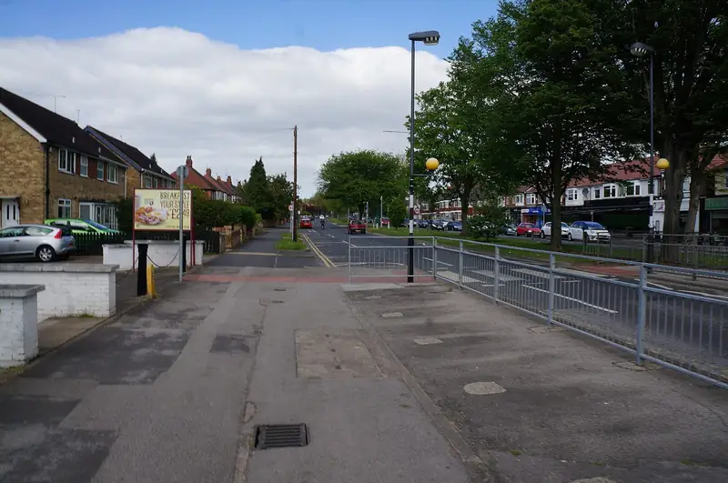
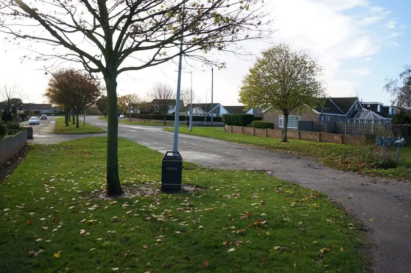
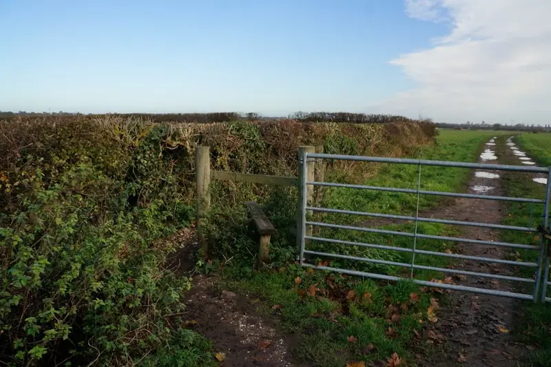
Kingston Road, The Parkway, Abbots Lane
Ian S photographed all three. The credits sit under the figures. Kingston Road reads as a main residential road. The Parkway and Abbots Lane read as quieter streets. None of them is a showcase of a finished driveway sold by this website. They show fronts, verges and houses so a request can be specific: "Kingston Road, existing drive, failed surface" is a different job from "Abbots Lane, no crossing, tree in the verge".
Willerby is easily bundled with Hull in search results. The council boundary is still real. These streets are treated on this page as East Riding addresses, which matches the photograph titles and the usual geography. If a particular new house uses a Willerby name but sits inside Hull, the city council's process applies and you should say so. This page will not re-draw the boundary.
What the flood strategy actually says
Hull City Council's local flood risk strategy says the city is mainly urban and predominantly built on reclaimed marshland. It then says that outside the city boundary, to the west, Cottingham, Willerby and Kirk Ella are on higher ground, and that most surface water there which is not stored or recharged drains eastwards toward the city. The same passage identifies the Hull and Haltemprice area as an Area of Significant Flood Risk from surface water. Willerby is inside that catchment sentence even though it is outside the city council.
That is not a claim that every Willerby garden is dry, or that a drive is safe from surface water. The strategy also notes groundwater at the edge of the Wolds, with occasional elevated groundwater around Cottingham. Willerby is named in the higher-ground group, not in that groundwater sentence. Keep the two apart. The flood map for planning is the address-level tool. This site has not stamped a zone on Kingston Road.
A scheme with Willerby in the title
East Riding has published a note on the Willerby and Derringham Flood Alleviation Scheme, often shortened to WaDFAS. The document describes a partnership that followed the 2007 floods, modelling checked against that event, and a proposal for lagoons along the Great Gutter Valley. The lagoons are described as resembling flat pasture, dry most of the time, and filling in severe wet weather. The note's objectives include reducing pluvial flood risk to domestic properties in Willerby and Derringham.
This page reports that proposal. It does not inspect the valley and then announce that every lagoon has been built, filled, or finished. If you need the as-built position, use the council. What matters for a driveway is smaller: do not assume a new sealed front can throw water at a neighbour because "the scheme dealt with flooding". The scheme, as described, is catchment storage. Your fall toward the footway is still your design problem.
Crossings and gardens under East Riding
East Riding's road and footpath maintenance page says a dropped kerb for vehicular access may need planning permission. That is the sentence to start from. Hull's June 2025 pack, with its Avenues/Hymers test and its approved-contractor list for the city, is the wrong booklet unless the house is actually inside Hull. The dropped kerbs page points at both authorities so the split is visible.
The Planning Portal's front-garden test is national and does not stop at the boundary. More than five square metres of impermeable paving draining to the highway can need permission. Link the explanation in the planning guide and then confirm the kerb with East Riding. Charges for East Riding's planning-help service are on the council site. They are not copied here, so they are not mistaken for the cost of a drive.
Kirk Ella is the next settlement the flood strategy pairs with Willerby. It does not have a page on this site. If you live there, the East Riding position on this page is the closer match, and you should name Kirk Ella in the request so nobody prices a Hull city crossing. Anlaby is similarly without its own URL. Hessle is further south, at the bridge, and is deliberately not described as the higher ground in the strategy. Cottingham shares the higher-ground sentence and has its own page because its streets and the university road are different.
Surfaces on these roads
Kingston Road frontages often already have a drive. Replacement is about the base, the joint at the footway, and where rain goes. The Parkway and Abbots Lane may have verges. A verge is not automatically yours. Crossing it needs the highway authority's agreement.
Blocks handle curves and manholes. Asphalt is a single sheet and is a frequent choice where the crossing itself must match a highway specification. Resin-bound stone is a thin layer: specify the binder and whether water passes through. Gravel on a sloping Willerby drive will travel unless the entrance is bound and the edges are kept. Pattern-imprinted concrete needs a pour window and joints. The comparison guide compares the first three without ranking a winner for The Parkway.
Open the BGS viewer on the street. Higher ground west of Hull is not a single soil. Chalk, till and head deposits can all be in play toward the Wolds. A base copied from a tidal plot in East Hull is the wrong lesson from the flood strategy. The strategy's point is that water moves east. It is not a borehole log.
What to put in the request
Name the street. Say Willerby and East Riding. Mention an existing crossing, a verge tree, or a slope toward the house. Mention if surface water already sits on the drive in heavy rain. Local professionals may contact you if you submit the form. You choose whether to hire anyone. Hull Driveways does not install the drive.
Questions about Willerby
Is Willerby covered by Hull's dropped-kerb pack?
Not as an East Riding village. The pack is the city's. East Riding's road page is the starting point for a crossing here.
Have the Great Gutter lagoons been finished?
The WaDFAS note describes the proposal and its objectives. This page does not convert that into a claim about today's construction status.
Why is Kirk Ella not a separate page?
The flood strategy names it with Willerby, and the live site this rebuild replaced did not have a Kirk Ella URL. Name it in the form if that is where the house is.
Sources: Hull local flood risk management strategy; Willerby and Derringham flood alleviation scheme note; East Riding road and footpath maintenance; BGS Geology Viewer; Flood map for planning; Planning Portal, paving a front garden.